BOATS · RIVERS · THE ART OF CONNECTION
One small boat, a country of waterways
A covered boat opens a conversation about wooden ships, great rivers and the human-made channels connecting them.
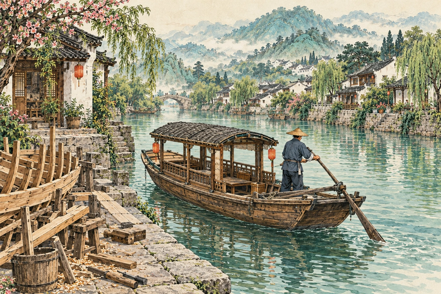
Beneath the canopy, a little room on the water
The boat in this contemporary illustrated landscape has a traditional covered form. Imagine stepping close enough to look beneath its canopy: where would you sit, and what could you see from there? In Chinese, pengchuan means a covered boat. The canopy offers shelter from sun and rain; a sail has another job, catching the wind to help a vessel move. Follow the curve of the hull, then look toward the stern for an oar or sculling oar. How does each part make life on the water possible? A small boat offers an inviting place to begin, before looking inside the wooden ships and shipbuilding skills of the past.
From the canopy to the craft inside
A small covered river boat and an ocean-going wooden sailing ship answer different needs. For one documented sailing example, the U.S. National Park Service's Grace Quan is a modern replica of a Chinese shrimp-fishing junk: its sail catches the wind, while a stern sculling oar, or yuloh, provides another means of propulsion. A replica preserves knowledge without becoming an ancient vessel. Another skill lies out of sight. UNESCO describes Fujian junk-building technology that divides the hull into watertight compartments, limiting the spread of water if a compartment is damaged. These partitions belong to a particular shipbuilding tradition; they cannot be assumed from every wooden boat's appearance. To explore historical boats, a construction diagram can be as revealing as the silhouette.
Three river names to place on your mental map
China's land is generally higher in the west and lower in the east, helping explain why many major rivers flow broadly eastward. Think of that as the first pencil line of a sketch, not the whole drawing. The Yangtze crosses central China and reaches the East China Sea. Farther north, the Yellow River makes its winding journey to the Bohai Sea. In the south, the Pearl River system gathers the West, North and East rivers into a delta network opening to the South China Sea. These names describe very different settings. Before a trip, choose one river on your itinerary and trace it upstream and downstream; a waterfront suddenly belongs to a larger landscape.
Not every river takes the same way out
Eastward is a broad pattern, not a rule for every bend or every basin. The Tarim in Xinjiang is an inland river, belonging to a drainage system that does not reach the sea. The Yarlung Zangbo flows east across Tibet before turning south; its waters eventually reach the Indian Ocean. These examples make a useful distinction: a river's local direction and the eventual destination of its water are different questions. On a map, follow the connected system rather than treating each blue line as an arrow toward China's eastern coast. Mountains, basins and the route through them help explain why a river belongs where it does.
The Grand Canal: a connection people made
The Grand Canal adds a different kind of line to the picture. It is an engineered waterway system, not one natural river. UNESCO describes its reach from Beijing to Zhejiang and its connections between major river basins, including the Yellow River and the Yangtze. Grain transport was central to its historical role. Natural watercourses and human-made channels became parts of a connected network. Looking from a bridge today, ask what you are seeing: a river, a canal, or a place where the two meet? You do not need to memorise the whole system. One lock, towpath or waterside warehouse can prompt a question about how people moved goods and shaped the water's journey.